Mahabaleshwar is a hill station in India’s forested Western Ghats range, south of Mumbai. It features several elevated viewing points, such as Arthur’s Seat. West of here is centuries-old Pratapgad Fort, perched atop a mountain spur. East, Lingmala Waterfall tumbles off a sheer cliff. Colourful boats dot Venna Lake, while 5 rivers meet at Panch Ganga Temple to the north.
Elevation: 1,353 m
Area: 137.2 km²
Weather: 22 °C, Wind E at 8 km/h, 78% Humidity
Population: 12,737 (2011)

PRATAPGAD FORT
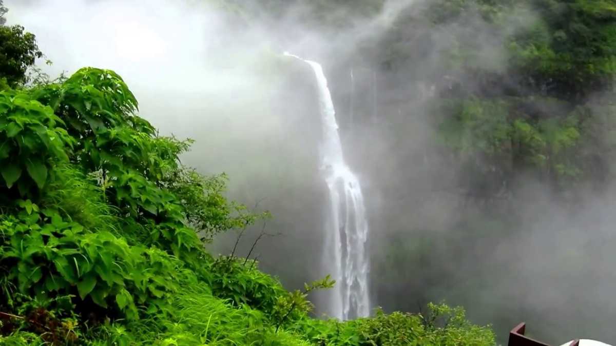
LINGMALA WATERFALL
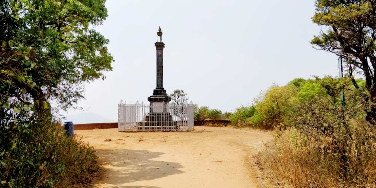
LODWICK POINT

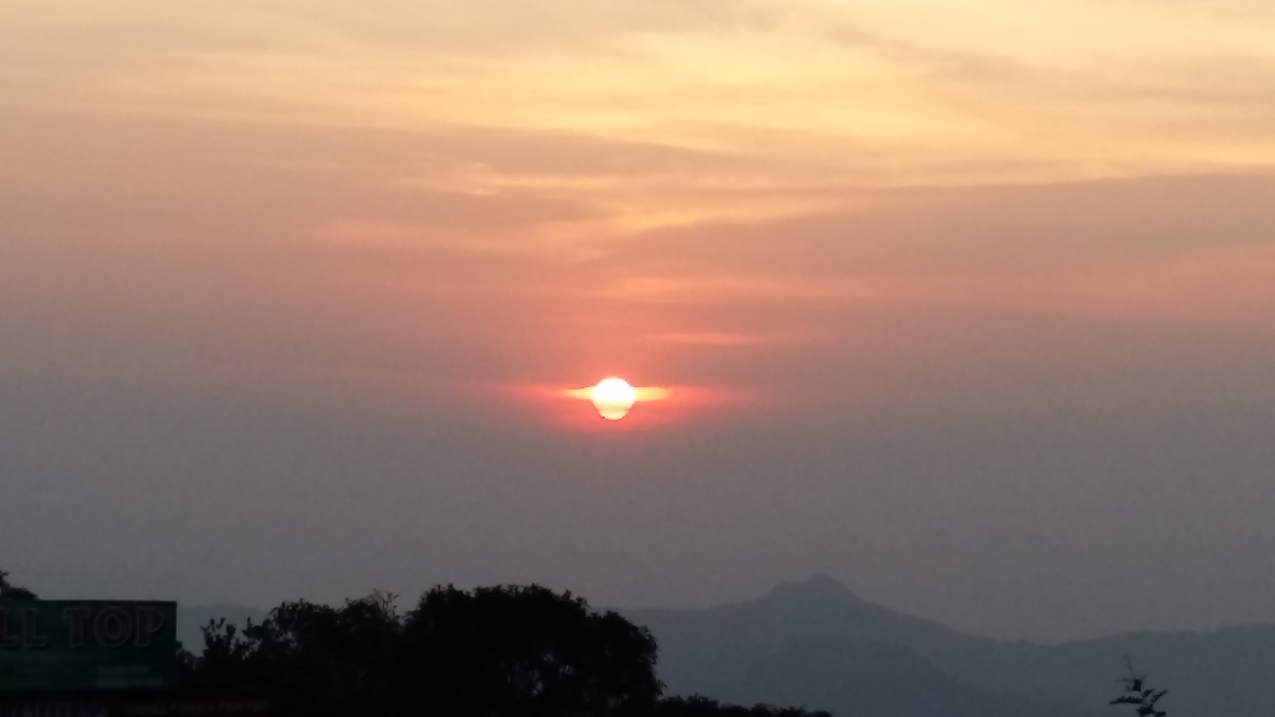
WILSON POINT OF SUNRISE
BOMBAY POINT

AURTHER SEAT
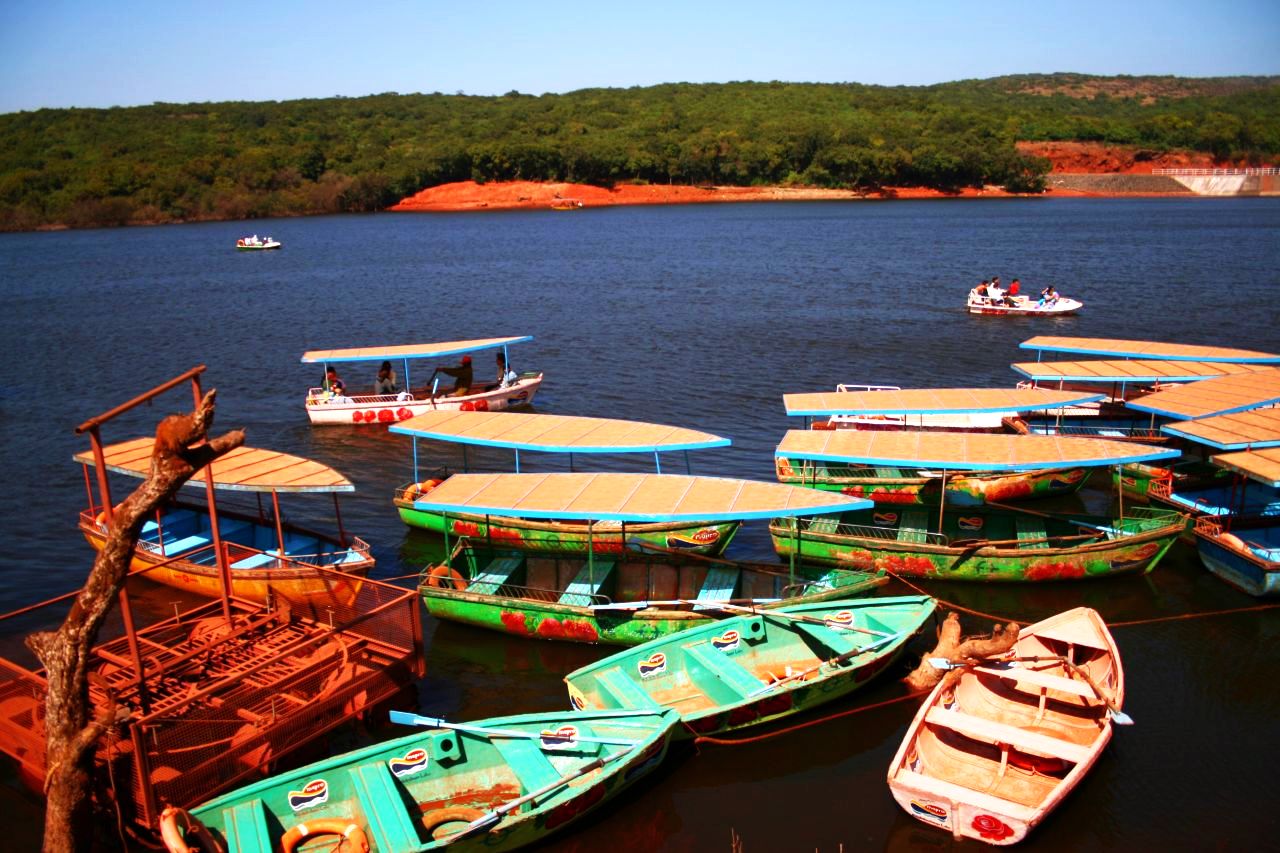
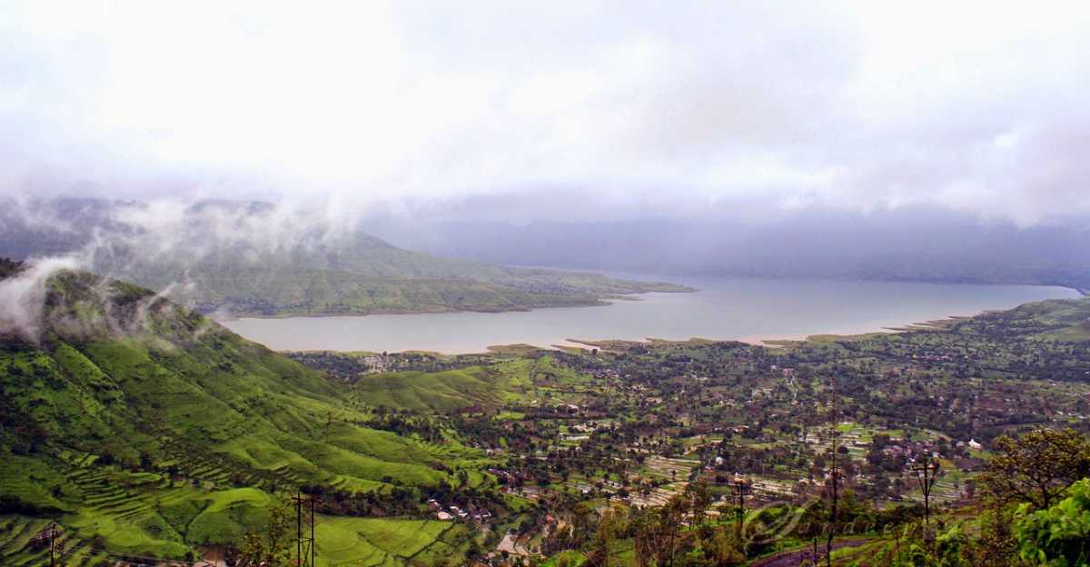
VENNA LAKE
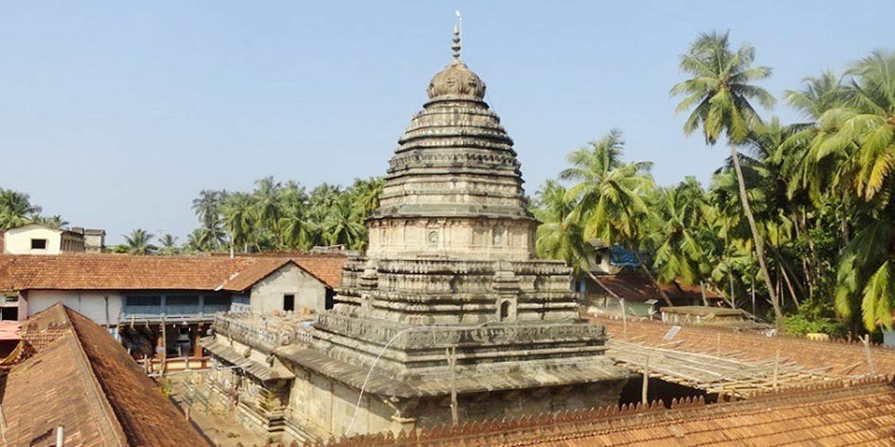
MAHABALESHWAR TEMPLES
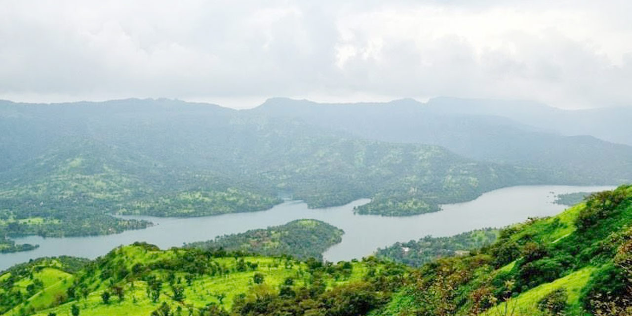
TAPOLA
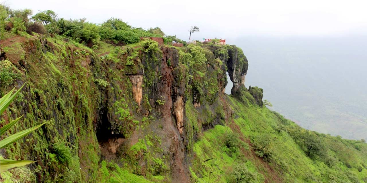
ELEPHANT’S HEAD POINT
PARSI POINT